Official Name:
上新庄长城4段ShangXinZhuangChangCheng4DuanOur Name:
边墙 / BianQiang
Other Name:
/
Period:明 / Ming Dynasty 1368~1644
Location: 青海省,西宁市,湟中县,起点:上新庄镇上新庄村十一社西南川河左岸止点:上新庄镇周德村东南0.57千米处的山坡下 / QingHaiSheng,XiNingShi,ZhongXian,QiDianShangXinZhuangZhenShangXinZhuangCunShiYiSheXiNanChuanHeZuoAnZhiDianShangXinZhuangZhenZhouDeCunDongNan057QianMiChuDeShanPoXia
[
Looking Local List]
Details:长城类别:墙体
起点经纬高度:东经:101° 35′ 北纬:36° 25′ 海拔:2788
终点经纬高度:东经:101° 35′ 北纬:36° 25′ 海拔:2793
墙体走向:该段长城呈东南-西北向穿过西久公路直至白灰窑北面0.03千米处。
墙体类别情况及构筑方式:不详。
墙体类别:土墙
结构特点及构筑方式:不详。
墙体分段描述:该段长城起自GPS0063点,止于GPS0064点,全长354米。
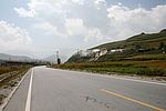
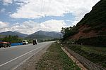
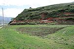
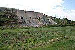
此段长城早期被毁。由该段长城所处位置分析及从当地人口中得知,该段长城原为夯筑土墙,后在人类生产、生活活动中被毁。0米~65米段现为土路;65米~85米段有西久公路穿过;85米~212米段是通往白灰窑和周德村的土路;212米~324米段为白灰窑和便道;324米~354米段为荒坡。无。
现状:
Type:土墙 Rammed earth wall
Protection Level:无
Content:
Memo:
Other Records:
Distribution:
visit location in Tianditu Map[recommend] Distribution:
visit location in Tencent QQ Map Distribution:
visit location in Google MapDistribution:
visit location in Baidu MapNational ID:630122382101170004
Action:[
 Save in Data Basket
 ]
Picture:
Click the thumbnail to view the Big Pic. Click the Big Pic to Hide the Big Pic![Caption:上新庄长城4段
loading images --Please wait...]()
![Caption:上新庄长城4段
loading images --Please wait...]()
![Caption:上新庄长城4段
loading images --Please wait...]()
![Caption:上新庄长城4段
loading images --Please wait...]() Photo Links
Photo Links:
 Search ::
  My Data Basket ::
  Favorite/My Favorite :: Recent Changes :: :: Login
 Save in Data Basket ]


